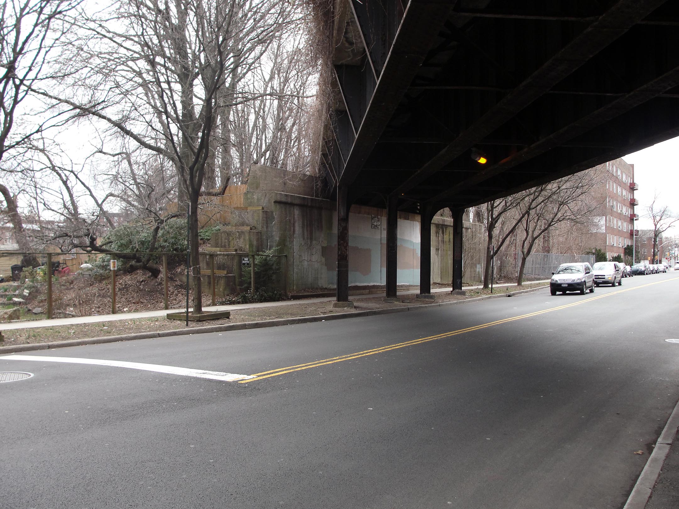
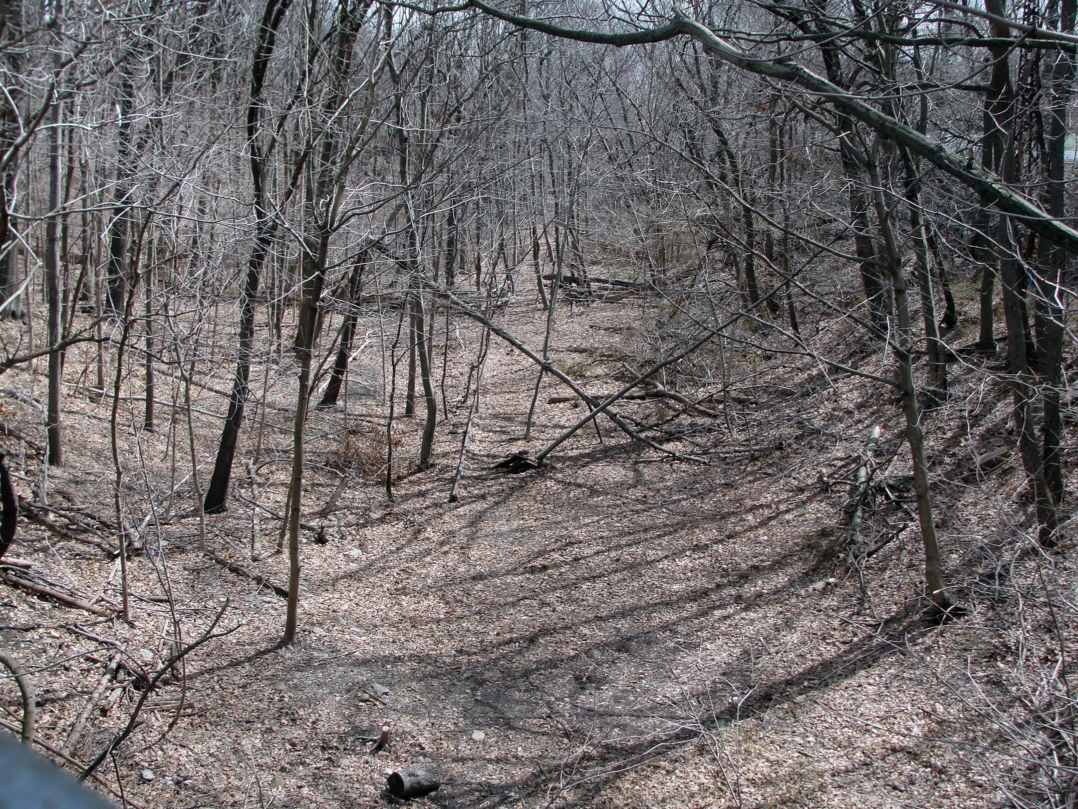
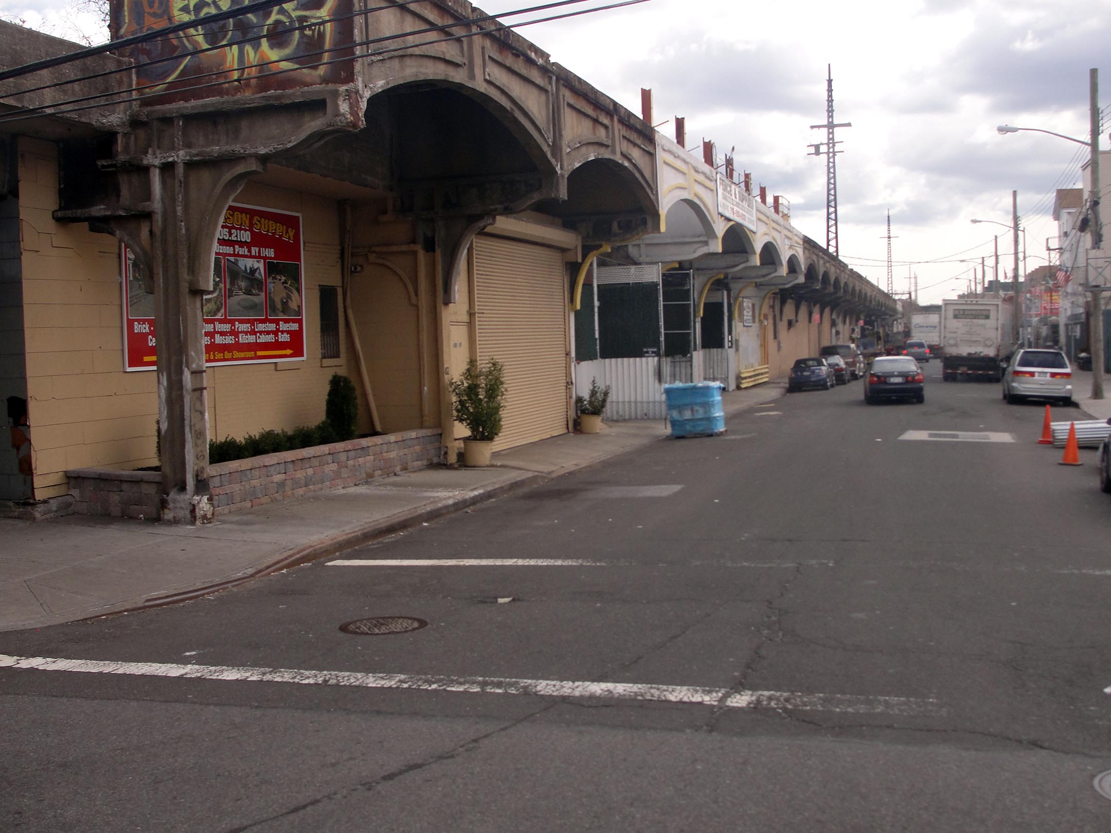
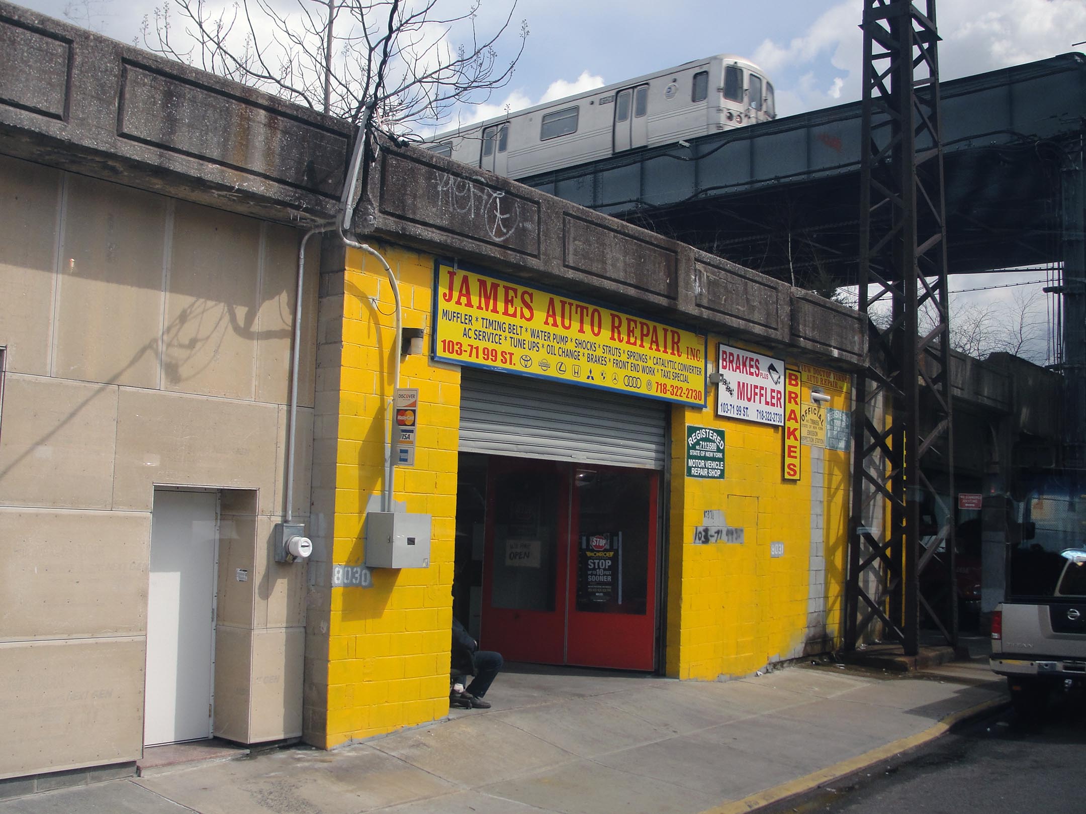
(research.) I had been following the QueensWay online but when I had a chance to see it in March of 2013, I was surprised by the variety of its physical experience. In a way, it feels more like the Atlanta Beltline – mostly an overgrown earthen embankment with bridges that disengage it from the life of city streets. But it doesn’t come with all that adjacent vacant land. It sits tightly alongside houses and other buildings for 3.5 miles through central and south Queens. And like the Promenade Plantée, its southern end is a viaduct with shops and businesses below. There’s still some controversy about exactly what it will become, so this is one to follow. >> Ryan Gravel
For more information, check out Friends of the QueensWay and the Trust for Public Land.
Map it: at Fleet Street, at Atlantic Avenue.
Categories: research.
